10· 12 reviews
Snorkeling Class in Ilhabela
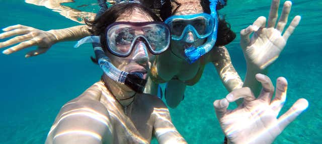
Take this snorkeling class in Ilhabela and discover the underwater world of the Brazilian coast while accompanied by the best instructors!
1 h 30 min
from US$ 26
Ilhabela calls for 4 to 5 days: for the beaches on the channel side, a waterfall, Pico do Baepi and a boat day to Castelhanos or a shipwreck dive. The driest months run from May to August, led by August (74 mm over 8 days), with highs of 24 to 26 °C; summer, from December to March, is hotter (up to 31 °C in February) and much rainier (313 mm in January).
Ilhabela is the largest marine island in Brazil, and the State Park, created in 1977, protects about 85% of its territory as Atlantic Forest. The town grew facing the São Sebastião Channel, on the inner side of the island, where the sea is still and the landscape feels more like a bay than an open coast. That gentle side holds the Vila (the main village), the historic center and most of the beaches with bars, pousadas (small inns) and facilities. On the other side, facing the open ocean, the island changes character: beaches such as Castelhanos and Bonete can only be reached by boat, on foot or by 4x4, with no ordinary road leading there.
The São Sebastião Channel, with wind almost guaranteed all year, made Ilhabela the national capital of sailing. Ilhabela International Sailing Week is held in July, brings together more than a hundred boats and is considered the largest ocean regatta in South America. Underwater, the fame belongs to the shipwrecks (almost thirty scattered around the archipelago, among them the Príncipe de Astúrias) and to islands such as Ilha das Cabras and Ilha dos Búzios, with clear water and good for people just starting to dive.
Out of the water there are waterfalls to spare: Cachoeira da Toca (Toca Waterfall), inside a former farm, has a stone slide and a pool for swimming, and is only one of dozens scattered through the forest. There is no bridge: access is only by ferry from São Sebastião, and on a summer weekend or public holiday the line can cost you hours. One warning repeated by everyone who has been: the borrachudo. It is a small biting fly, active by day and most annoying near rivers and waterfalls. Bring repellent and do not assume you will not need it.
Updated on October 19, 2026
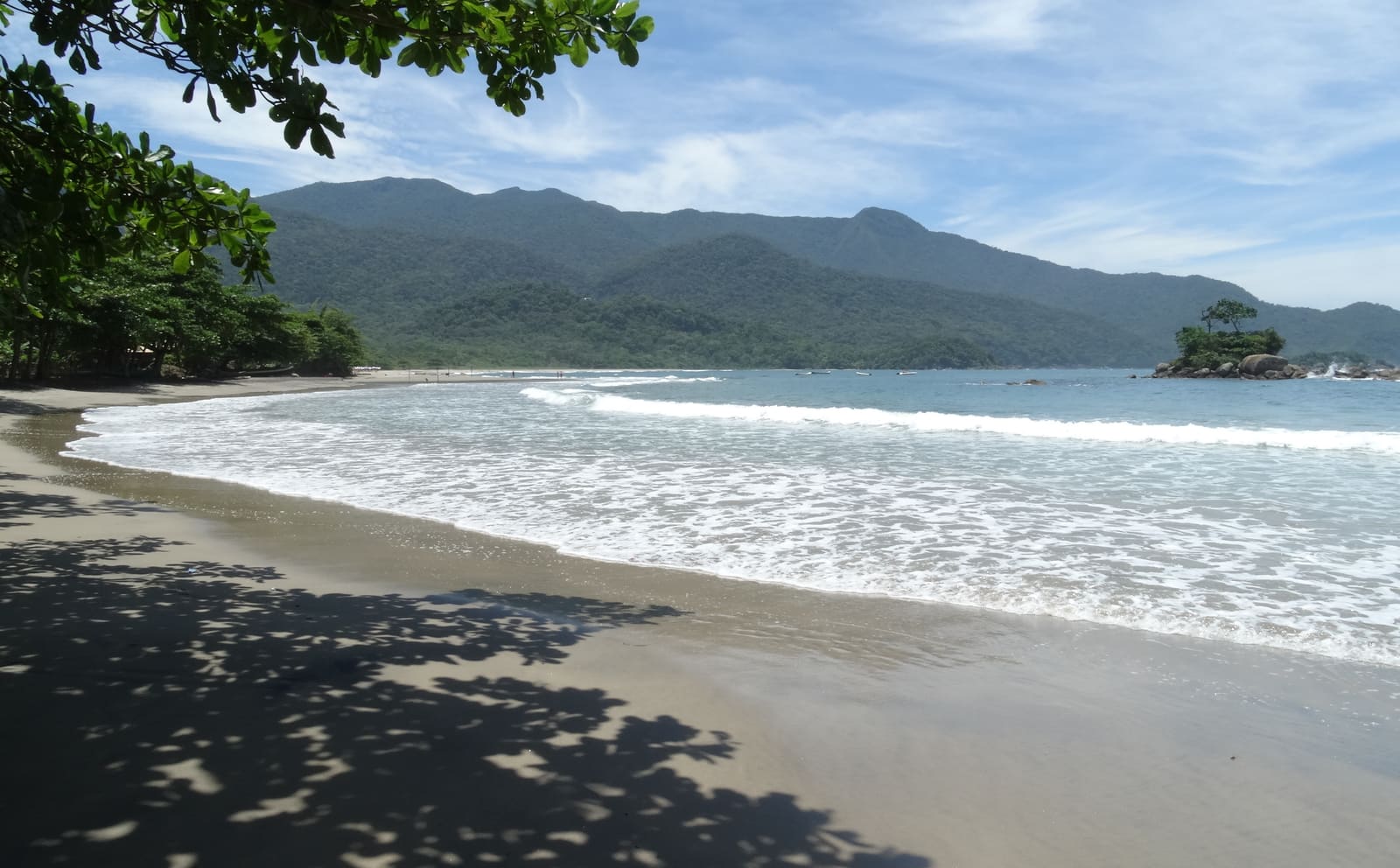
A long beach inside the State Park, reached by boat, by trail or by the park road, which is open only to authorized 4x4 vehicles.
A waterfall inside a historic farm, with a stone slide, natural pools and a short access trail.
Stone streets and colonial houses around the Mother Church of Our Lady of Help (Igreja Matriz de Nossa Senhora d'Ajuda), built between 1697 and 1718.
The liveliest beach on the island, with bars, pousadas and the Chapel of Santa Cruz at the top of a flight of steps.
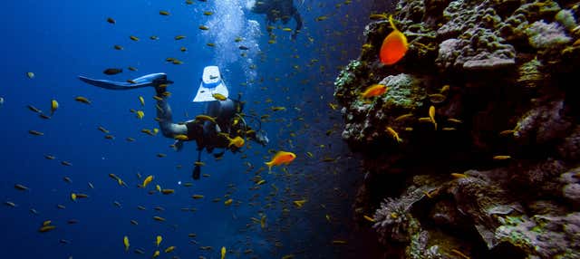
Almost thirty shipwrecks and the islands of Ilha das Cabras and Ilha dos Búzios make Ilhabela one of the country's main diving spots.
A demanding trail up to 1,048 m above sea level, with an almost 360° view over the São Sebastião Channel and the Alcatrazes archipelago.
An isolated caiçara (traditional coastal community) village at the southern tip of the island, reached by a 13 km trail (about 5 hours) or by boat.
Brazil is in the Southern Hemisphere, so the seasons are the reverse of those in Europe and North America: summer falls between December and March and winter between June and August. In Ilhabela summer is hot and humid, with highs of 29 to 31 °C from December to February, and winter is mild: in July, the coolest month, the average high is 24 °C and the low is 14 °C.
It rains all year, but with clear differences. The reference climate is that of the Ubatuba station. August is the month with the least rain, with 74 mm over 8 days, followed by July (93 mm over 8 days) and June (94 mm over 7 days). January is the wettest, with 313 mm over 17 days, followed by March (311 mm over 16 days) and February (291 mm over 15 days).
For trekking and waterfalls, the best window runs from May to August, with June as the best month. July adds Ilhabela International Sailing Week to one of the driest months of the year. From December to February it is hotter and busier, with a longer line at the ferry; the line also grows on long holiday weekends and during regatta week in July.
| Month | High | Low | Rain | Rainy days | Rating |
|---|---|---|---|---|---|
| January | 30 °C | 22 °C | 313 mm | 17 | Not recommended |
| February | 31 °C | 22 °C | 291 mm | 15 | Not recommended |
| March | 30 °C | 21 °C | 311 mm | 16 | Not recommended |
| April | 28 °C | 19 °C | 233 mm | 13 | Fair |
| May | 26 °C | 16 °C | 123 mm | 9 | Good |
| June | 25 °C | 15 °C | 94 mm | 7 | Good |
| July | 24 °C | 14 °C | 93 mm | 8 | Good |
| August | 25 °C | 14 °C | 74 mm | 8 | Good |
| September | 25 °C | 16 °C | 197 mm | 13 | Fair |
| October | 26 °C | 18 °C | 246 mm | 15 | Fair |
| November | 28 °C | 19 °C | 264 mm | 16 | Fair |
| December | 29 °C | 20 °C | 280 mm | 17 | Fair |
Monthly averages for 1991-2020 from INMET (Brazil's National Institute of Meteorology). The rating combines rainfall, temperature and humidity.
In summer (December to February), Ilhabela has highs of around 30 °C (86 °F) and lows of 21 °C (70 °F), and it is the wetter season, with about 295 mm of rain spread over about 16 days a month. The days are hot and call for beach time and shade.
In fall (March to May), Ilhabela has highs of around 28 °C (82 °F) and lows of 19 °C (66 °F), and it is the wetter season, with about 222 mm of rain spread over about 13 days a month. The days are hot and call for beach time and shade.
In winter (June to August), Ilhabela has highs of around 25 °C (77 °F) and lows of 14 °C (57 °F), and it is the wetter season, with about 87 mm of rain spread over about 8 days a month. Temperatures are pleasant for sightseeing all day.
In spring (September to November), Ilhabela has highs of around 26 °C (79 °F) and lows of 18 °C (64 °F), and it is the wetter season, with about 236 mm of rain spread over about 15 days a month. Temperatures are pleasant for sightseeing all day.
Weather, crowds, prices and what is happening at the destination in each period. Tap a month to open its full page; the colored dot shows how good the time is for a visit.
The largest ocean regatta in South America fills the channel with sails for a week. The island is considered the national capital of sailing.
Restaurants in the Vila create shrimp dishes for the competition, with a themed boteco (neighborhood bar) at Praça das Bandeiras.
Recurring annual events: exact dates change every year, so confirm them before you plan your trip.
The reference airport is Guarulhos International Airport (Governador André Franco Montoro), with the code GRU, about 195 km away. From there you continue by car or bus to São Sebastião, and from there you cross by ferry, about 20 minutes, to the Vila of Ilhabela. São José dos Campos Airport (SJK) is closer, about 110 km away, but has few scheduled flights.
There is no bridge: the ferry leaves every 30 minutes from 5:30 a.m. to 11:30 p.m., and every hour in the early morning. From São Paulo to São Sebastião it is 197 km (about 3 hours) along the Rodovia dos Tamoios, and from Ubatuba, 73 km (about 1.5 hours) along the Rio-Santos highway. In high season you can book your crossing at least 2 hours ahead to avoid a good part of the wait.
Routes and airlines change often; the safest approach is to check them when you plan your trip.
The inner side of the island, facing the São Sebastião Channel, holds the Vila, the historic center and most of the beaches with bars, pousadas and facilities; Praia do Curral is the liveliest. The open-ocean side, where Castelhanos and Bonete are, has no ordinary road, so access is by boat, on foot or by 4x4. Because the ferry can take hours on a weekend, it is worth leaving some slack in your schedule.
Rates change with the dates: confirm the price on Booking.com.
There is no bridge. You drive to São Sebastião, on the north coast of São Paulo state, and cross by ferry to the Vila. The crossing takes about 20 minutes, with departures every 30 minutes between 5:30 a.m. and 11:30 p.m. From São Paulo it is about 197 km to São Sebastião along the Rodovia dos Tamoios (about 3 hours by car); from Ubatuba, about 73 km along the Rio-Santos highway (about 1.5 hours).
Four to five days is enough to see the beaches on the channel side, hike a trail to a waterfall, climb Pico do Baepi and still fit in a boat day to Castelhanos or a shipwreck dive. Since access is by ferry, leave some slack in your schedule for the line both ways.
By land, yes: the park road that crosses the State Park allows only vehicles with 4x4 traction and authorization, with controlled outbound and return hours. Without a 4x4, you can get there by boat, or by booking a tour with an accredited jeep.
Yes, and it is a recurring topic among people who visit the island. It is a small biting fly, active during the day, stronger in summer and near rivers, waterfalls and dense forest. Repellent with DEET or icaridin, long sleeves and light-colored clothing help prevent bites.
From May to August: these are the driest months, with highs of 24 to 26 °C, and July adds Ilhabela International Sailing Week. Summer, from December to March, is hotter and busier, with a longer line at the ferry and a lot of rain (313 mm in January). Outside high season the island empties out and the sea tends to be clearer for diving.
The two sit side by side on the north coast of São Paulo state and have a similar climate, but the experience differs. Ubatuba is on the mainland, with more than a hundred beaches reachable by car. Ilhabela is an island, reached only by ferry, and combines sailing, shipwreck diving and waterfalls in a territory that is almost entirely protected forest.
The weather and population data in this guide come from official agencies and open databases. Entry requirements and health recommendations change: always check the official source linked.